|
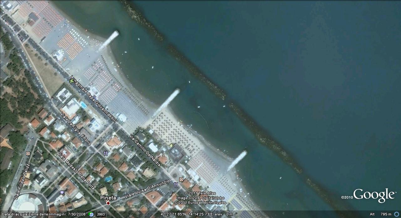
In questa pagina riporto indicazioni sulla zona dei ritrovamenti: qui sopra una foto satellitare da Google Maps del litorale interessato.
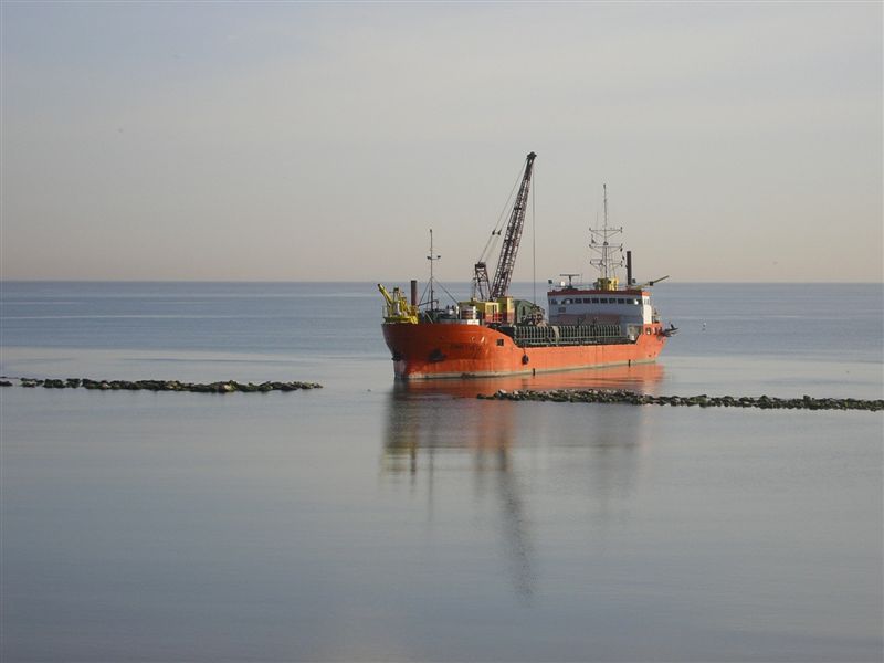
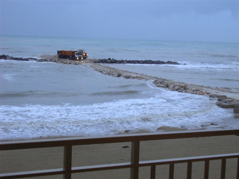
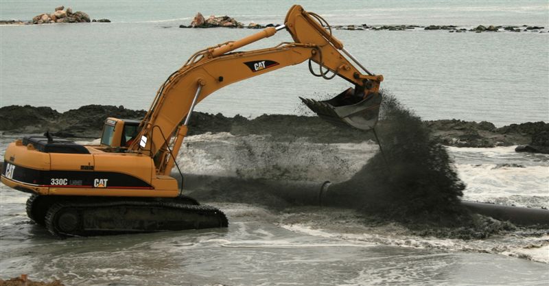
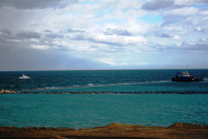
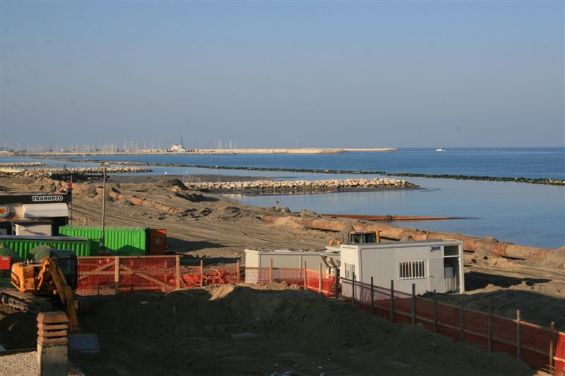
Le prime quattro fotografie a destra, inoltre, documentano i vari mezzi usati in quei giorni per il ripascimento, ma quella più interessante potrebbe essere la quinta, come mi ha fatto notare il signor Marco Cirillo, che ringrazio per aver messo a disposizione le sue foto.
Nel tratto di mare tra le due scogliere verticali la sabbia, visibile, è stata soltanto "sparata" e non lavorata con i trattori come da regola, non avendo il gestore dello stabilimento balneare antistante concesso alcun permesso.
Ancora oggi, mi dice il signor Cirillo, in pochi centimetri d'acqua, si ha la sensazione di camminare su qualcosa di soffice, sensazione che non c'è altrove.
Questo potrebbe avere un nesso con il fatto che lì ho trovato la maggior concentrazione di materiale, e che ancora, essendo la zona molto protetta ed isolata (anche dalla scogliera orizzontale), vengano fuori rilevanti quantitativi di materiale.
|
|
In this page I provide informations on the area of the finds: above a satellite photo from Google Maps of the interested coastline.
The first four photographs on the right document the various vehicles used in those days for beach nourishment, but the most interesting could be the fifth, as pointed out to me by Mr. Marco Cirillo, that I thank for giving me the availability of his photographs
In the stretch of sea between the two vertical cliffs the sand, visible, was only "shot" and not worked with tractors as a rule, not having the manager of the resort in front granted any permission.
Even today, Mr. Cirillo tells me, in a few inches of water, one has the feeling of walking on something soft, a feeling that you don't find anywhere else.
This could have a link with the fact that there I found the greatest concentration of material, and again, being a protected and isolated area (even horizontally from the cliff), come out significant quantities of material.
|


